Orientation
The Site and Its Markers
Kokino is not one monument but a set of levelled rock platforms and carved sightlines. Learn the layout before you climb and the hill stops looking like a pile of rocks.
The layout
Four platforms, west to east
The archaeoastronomical site of “Tatichev Kamen” consists of several artificial levelled surfaces cut into the living rock. Two were used for ritual, two for observation.
The lower, western platform
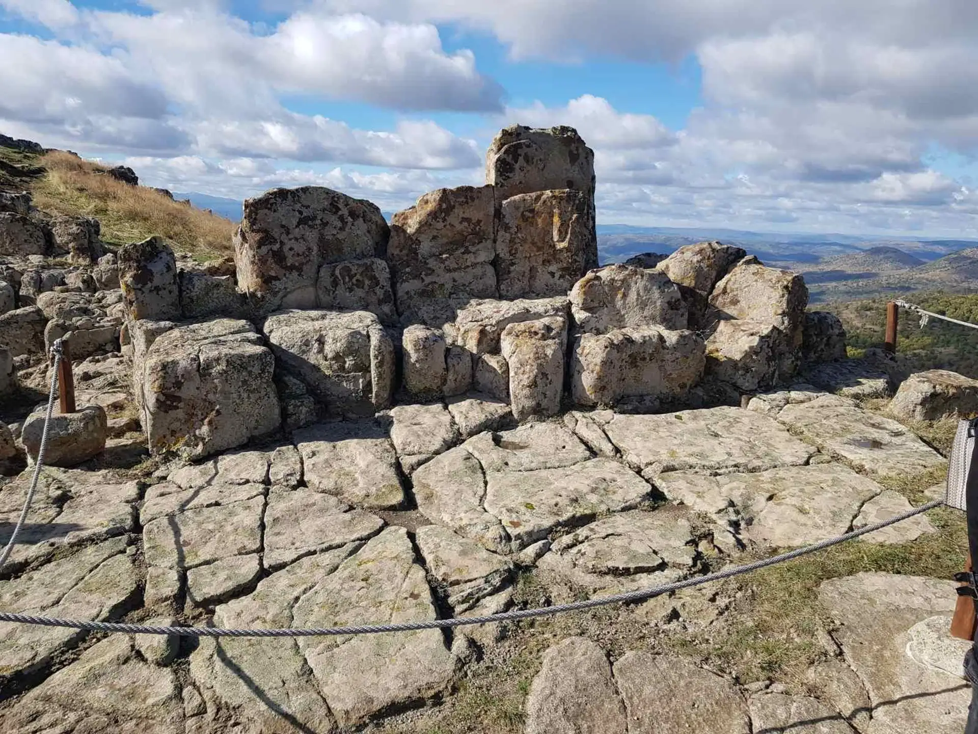
Ritual · the stone thrones
Platform A carries the carved stone seats — the “thrones” — facing east. It sits roughly 19 metres below Platform B. At sunrise on certain days of the year, light passing through the ritual marker falls on one seat before any other.
The higher, eastern platform
Ritual · the cut trench
The upper ritual surface. Along its western edge a trench was deliberately cut into the rock; the sun's rays graze its right-hand edge on the days when the ritual marker performs.
The western astronomical platform
Observation · c. 1900 BC
The main observing station. From here the seven markers frame the sunrises of the solstices and equinoxes, and the extreme risings of the full moon in summer and winter. The astronomical study dates its construction to the second half of the 19th century BC.
The northern platform
Observation · c. 2083 BC
Cut into the north slope and the older of the two observing platforms. It served the spring and autumn equinoxes — and the positions of the star Aldebaran between roughly 2000 and 1500 BC, when Aldebaran stood at the equinox point.
The eastern horizon
The seven markers
Seen from Platform C, seven notches in the rock mark where the sun and moon break the horizon on the key days of the year. They read from north (left) to south (right) as the rising points swing through their annual and 19-year cycles.
The sun rises due east only on the equinoxes. Between them it swings north and south along the horizon, and the solstice markers catch it at the two extremes.
A separate marker, known as the ritual marker (K), sits just below the summit. It is a double marker — both ritual and astronomical — and is described on the Rituals & Myths page.
-
1
Moon at maximum declination, winter
The full moon at its highest winter rising point. Well preserved.
-
2
Summer solstice sunrise
The northernmost sunrise of the year, around 21 June.
-
3
Moon at minimum declination, winter
The winter full moon at its lowest rising point. Well preserved.
-
4
Spring and autumn equinox
Due east. The sun rises here only on the two equinoxes, around 21 March and 21 September.
-
5
Moon at minimum declination, summer
The summer full moon at its lowest rising point.
-
6
Winter solstice sunrise
The southernmost sunrise of the year, around 21 December.
-
7
Moon at maximum declination, summer
The summer full moon at its highest rising point.
Walking it in the right order
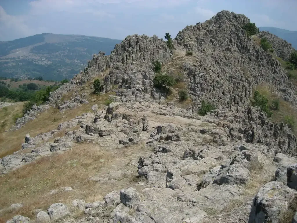
From the car park at the foot of the hill, the climb to the summit takes about fifteen minutes on a gentle, sun-facing southern slope. The audio guide takes the platforms in the order that makes the site legible: the ritual pits first, then D, then A, then C.
That is not the order they were built in, and it is not a loop. It is simply the sequence in which each platform explains the next.